





 asdar.id menyediakan Member Premium Download untuk download file tanpa embel-embel iklan dan halaman, apa lagi harus menunggu timer yang begitu lama. Dengan berlangganan Member Premium Download, semua file dapat didownload dengan singkat langsung menuju ke sumbernya!, klik DISINI untuk DAFTAR atau DISINI untuk LOGIN :-) Jika ada pertanyaan silahkan hubungi Admin DISINI. Untuk cara download file Member Free Download, bisa membaca Tutorial Download yang ada dibawah Timer (halaman Safelink) saat menekan tombol download.
An observation tower is an architectural structure designed to provide elevated viewpoints for visitors to enjoy panoramic views of surrounding landscapes, urban areas, natural attractions, and tourist destinations. Proper planning and structural design are essential to ensure that the facility is functional, visually appealing, and safe for public use.
These Observation Tower Architectural and Structural Working Drawings DWG AutoCAD provide useful technical references for architects, civil engineers, structural engineers, landscape designers, contractors, and CAD technicians involved in tourism infrastructure and public facility development.
Definition of Observation Tower
An observation tower is an elevated structure developed to provide visitors with a designated platform or viewing area from which they can observe the surrounding environment. It is commonly constructed in tourism destinations, parks, coastal areas, mountains, recreational facilities, and other locations with attractive natural or urban scenery.
Depending on the design concept and site conditions, an observation tower may incorporate elevated platforms, access walkways, staircases, supporting structures, landscaped areas, and visitor circulation facilities. Its architectural design generally considers the relationship between the structure, surrounding landscape, accessibility, visibility, and environmental conditions.
An observation tower is not only a functional viewing facility but can also become an architectural landmark that contributes to the identity and attractiveness of a particular destination.
Function of Observation Tower
The primary function of an observation tower is to provide an elevated viewing point that allows visitors to enjoy wider views of the surrounding landscape. It can support tourism activities, recreational experiences, photography, sightseeing, and environmental observation.
In public parks and tourism areas, observation towers can serve as important visitor attractions while helping organize pedestrian circulation and access to designated viewing locations. Supporting facilities such as walkways, platforms, landscaped spaces, and seating areas can improve visitor comfort and accessibility.
From an architectural and planning perspective, an observation tower can also function as a landmark within a larger landscape development. Its design helps establish visual connections between the built environment and natural surroundings while creating an organized space for public activities.
Download Observation Tower Architectural and Structural Working Drawings DWG AutoCAD
Detailed Observation Tower Architectural and Structural Working Drawings DWG AutoCAD provide useful architectural, landscape, and structural references for understanding the site arrangement, elevated viewing structure, pedestrian access, landscape configuration, and supporting construction components of an observation tower facility. These drawings are particularly useful for architects, civil engineers, structural engineers, landscape designers, CAD technicians, contractors, and construction professionals involved in tourism infrastructure, public facilities, recreational areas, and landscape development projects.
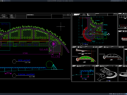
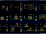
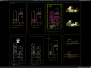
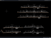
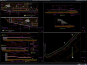
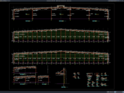
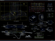
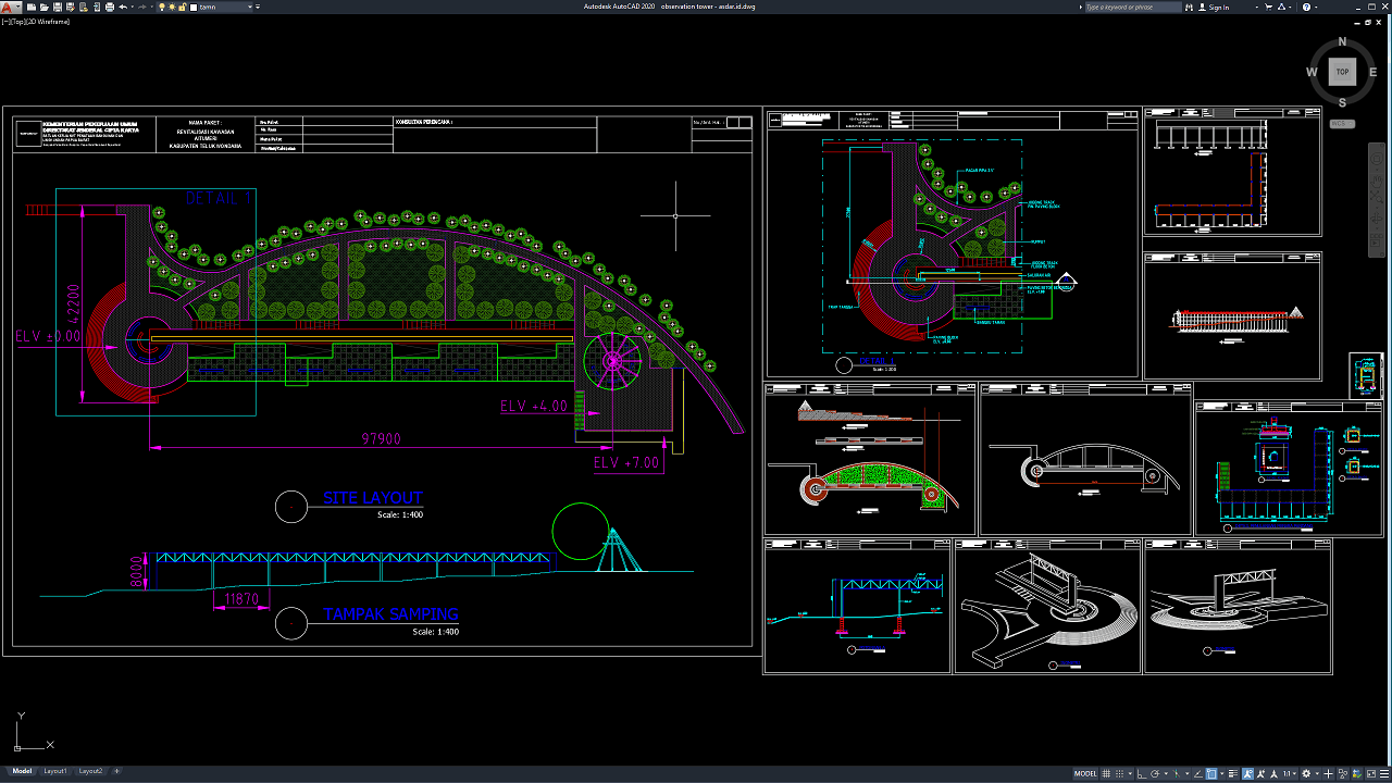
As shown in the uploaded drawing, the CAD sheet presents a site layout, side elevation, architectural and landscape details, structural drawings, and three-dimensional views of the observation tower facility. The site layout illustrates the overall arrangement of the viewing area, curved pedestrian pathways, landscaped zones, vegetation, circular platforms, and visitor circulation routes. The side elevation provides information about the longitudinal configuration of the structure, including its dimensions, elevated platform, supporting elements, and relationship with the surrounding ground level. Additional detail drawings show the arrangement of the viewing area, access pathways, landscape elements, and structural components. The structural views include supporting frames, elevated construction elements, and connection arrangements, while the 3D illustrations provide a visual understanding of the structure’s form and its integration with the surrounding site.
These drawings provide a practical reference for reviewing site organization, pedestrian circulation, landscape composition, structural arrangements, and the relationship between the observation facility and its surrounding environment. The site layout helps users understand the positioning of the viewing structure and access routes, while the side elevation communicates the height, dimensions, and overall structural profile. The architectural and landscape details illustrate the arrangement of outdoor spaces and visitor facilities, whereas the structural drawings and 3D views provide additional information about the supporting construction system and design configuration. Together, these drawings can support preliminary architectural planning, observation tower design development, tourism facility planning, landscape coordination, and construction documentation.
Detailed AutoCAD DWG files allow architects, engineers, contractors, landscape designers, and CAD technicians to review and modify site layouts, platform dimensions, pedestrian pathways, structural configurations, supporting elements, and landscape arrangements according to specific project requirements. This drawing serves as a useful reference for observation tower site plans, observation tower architectural drawings, structural working drawings, scenic viewing platforms, landscape design layouts, elevated walkway details, tourism facility planning, observation tower elevations, and AutoCAD construction drawings.
Before construction, all dimensions, site conditions, soil characteristics, foundation requirements, structural systems, support positions, connection details, material specifications, platform loading capacities, wind loads, and guardrail arrangements should be verified according to actual project conditions and applicable engineering standards. Special attention should also be given to visitor circulation, pedestrian accessibility, platform safety, drainage, outdoor lighting, weather resistance, maintenance access, and emergency evacuation provisions. The architectural and structural drawings should be coordinated with relevant civil, electrical, mechanical, and other engineering documentation to ensure compliance with applicable building regulations and safety requirements. This DWG file should be treated as an architectural, landscape, and structural design reference rather than a ready-to-build construction document.
This drawing is provided in .dwg format, which means you can open it directly using the latest version of AutoCAD or an older version, such as AutoCAD 2004. You can also edit the drawing to modify it according to your preferences or design requirements. Please note that the annotations in the drawing are written in Indonesian. You may need to translate them into your preferred language to understand the details clearly.
For those of you who prefer a simpler and faster download experience on asdar.id, I also provide a Premium Member Download service that allows direct access to the original file. This way, you will not be disturbed by excessive advertisements or multiple redirect pages during the download process. If you are interested, please register HERE. Please download the Observation Tower Architectural and Structural Working Drawings DWG AutoCAD file below:
Observation Tower Architectural and Structural Working Drawings DWG AutoCAD
| Google Drive | DOWNLOAD[717.53KB] |
| Mediafire | DOWNLOAD[717.53KB] |
Rar password: www.asdar.id
Important Note: If you encounter a problem where the WinRAR file cannot be extracted or appears corrupted, the solution is to update the WinRAR application on your computer to the latest version. Download the latest version of WinRAR here.
If you would like to copy this article, please include the original source because I have seen some blogs repost the content without providing proper credit. Otherwise, please rewrite it using your own words. Respect and appreciate the work and effort of others.
The Observation Tower Architectural and Structural Working Drawings DWG AutoCAD provide useful references for planning and developing observation facilities within tourism areas, public parks, and recreational environments. Featuring a site layout, side elevation, landscape arrangements, structural details, and three-dimensional views, this drawing collection helps users understand the overall architectural concept and supporting construction components.
The editable DWG AutoCAD file can support architectural design development, landscape planning, structural coordination, and construction documentation. Architects, civil engineers, structural engineers, contractors, and CAD technicians can adapt the drawings according to site conditions, functional requirements, and applicable construction standards.