





 asdar.id menyediakan Member Premium Download untuk download file tanpa embel-embel iklan dan halaman, apa lagi harus menunggu timer yang begitu lama. Dengan berlangganan Member Premium Download, semua file dapat didownload dengan singkat langsung menuju ke sumbernya!, klik DISINI untuk DAFTAR atau DISINI untuk LOGIN :-) Jika ada pertanyaan silahkan hubungi Admin DISINI. Untuk cara download file Member Free Download, bisa membaca Tutorial Download yang ada dibawah Timer (halaman Safelink) saat menekan tombol download.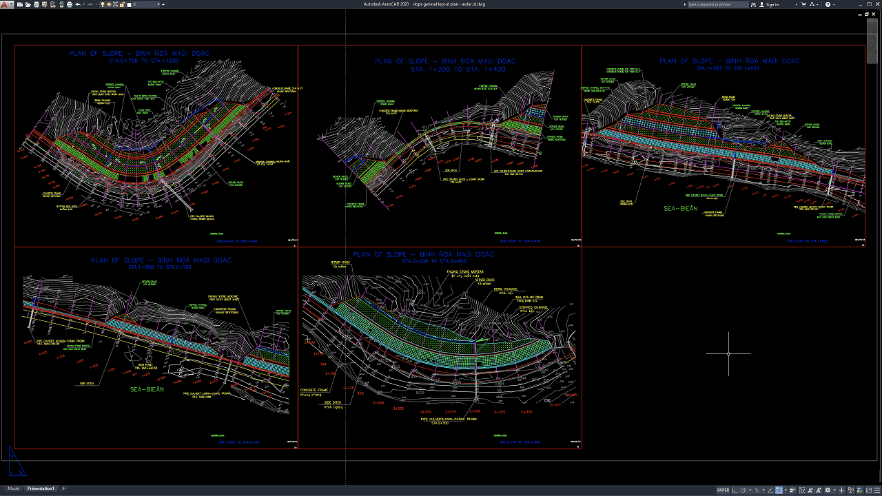
Slope planning is an important part of civil engineering, road construction, land development, infrastructure projects, and site grading design. A well-prepared slope layout helps engineers understand terrain conditions, elevation differences, drainage paths, retaining requirements, access routes, and earthwork limits before construction begins.
In this article, we share a reference for Slope General Layout Plan DWG AutoCAD that can be useful for civil engineers, geotechnical engineers, structural engineers, surveyors, contractors, CAD technicians, quantity surveyors, students, and construction professionals. The drawing provides a practical reference for slope geometry, site contours, grading limits, drainage coordination, retaining structures, and general engineering documentation.
What Is a Slope General Layout Plan?
A Slope General Layout Plan is an engineering drawing that shows the overall arrangement of a sloping site or engineered embankment. It can include slope boundaries, contour lines, elevation levels, cut-and-fill zones, drainage channels, retaining systems, access areas, and other site-related components.
The main purpose of the drawing is to help project teams understand how the slope interacts with surrounding terrain and infrastructure.
Depending on the project, a slope layout may be used for highways, roads, bridges, retaining walls, industrial sites, residential developments, mining areas, drainage projects, or hillside construction.
Importance of Slope Layout Planning
Slope design requires careful coordination because changes in terrain can affect stability, drainage, foundations, roads, and adjacent structures.
An accurate Slope General Layout Plan DWG AutoCAD can help engineers identify:
- Existing terrain conditions
- Proposed grading areas
- Cut slopes
- Fill slopes
- Slope boundaries
- Drainage routes
- Retaining wall locations
- Access roads
- Bench arrangements
- Elevation changes
- Earthwork limits
- Structural interfaces
Poor slope planning can result in instability, erosion, drainage problems, excessive excavation, or unnecessary construction costs.
Download Slope General Layout Plan DWG AutoCAD
Proper Slope General Layout Plan DWG AutoCAD drawings are essential for accurately coordinating slope geometry, contour elevations, stabilization zones, drainage systems, retaining elements, and road alignment in highway, hillside, and civil infrastructure projects. Civil engineers, geotechnical engineers, surveyors, contractors, and site planners must carefully coordinate slope boundaries, terrain contours, bench arrangements, drainage channels, protection systems, and chainage references to achieve a stable and well-organized slope design.
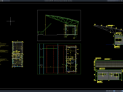
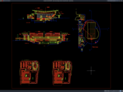
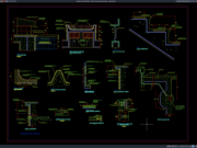
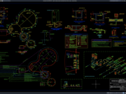
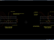
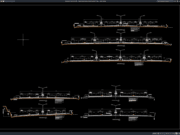
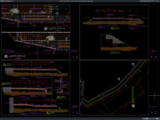
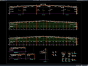
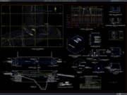
Detailed drawings such as slope layout plans, topographic contour plans, slope stabilization zones, drainage channels, concrete frame layouts, vegetation protection areas, culvert locations, side ditches, and dimensional references help engineering and construction teams understand the overall slope treatment before excavation, stabilization, and drainage work begin. As shown in the drawing, the CAD layout includes several slope plan segments at approximately STA 0+706 to STA 1+200, STA 1+200 to STA 1+400, STA 1+363 to STA 1+850, STA 1+850 to STA 2+100, and STA 2+100 to STA 2+400, together with contour lines, road alignments, slope protection areas, drainage elements, concrete frame zones, culvert references, and chainage markings.
Incomplete or inaccurate Slope General Layout Plans may result in incorrect grading, unstable slope geometry, inadequate drainage, conflicts with road alignment, excessive erosion, inefficient earthwork, and increased construction costs. Accurate civil and geotechnical drawings and proper coordination between civil engineers, geotechnical engineers, surveyors, contractors, and site supervisors are therefore important for achieving safe, stable, and durable slope construction.
Detailed AutoCAD DWG files also allow engineers and designers to review and modify slope boundaries, contour references, stabilization areas, drainage layouts, concrete frame arrangements, culvert positions, and chainage information according to specific project requirements and applicable engineering standards. The drawing shown provides a practical reference for slope engineering, hillside stabilization, road slope planning, drainage coordination, erosion protection, and civil construction documentation.
For those of you who prefer a simpler and faster download experience on asdar.id, I also provide a Premium Member Download service that allows direct access to the original file. This way, you will not be disturbed by excessive advertisements or multiple redirect pages during the download process. If you are interested, please register HERE. Please download the Slope General Layout Plan DWG AutoCAD file below:
Slope General Layout Plan DWG AutoCAD
| Google Drive | DOWNLOAD[950.37KB] |
| Mediafire | DOWNLOAD[950.37KB] |
Rar password: www.asdar.id
Important Note: If you encounter a problem where the WinRAR file cannot be extracted or appears corrupted, the solution is to update the WinRAR application on your computer to the latest version. Download the latest version of WinRAR here.
If you would like to copy this article, please include the original source because I have seen some blogs repost the content without providing proper credit. Otherwise, please rewrite it using your own words. Respect and appreciate the work and effort of others.
Slope General Layout Plan DWG AutoCAD drawings provide useful technical references for understanding slope geometry, grading, drainage, earthwork limits, retaining structures, and site development requirements.
Accurate CAD documentation can improve coordination between civil engineers, geotechnical engineers, surveyors, contractors, quantity surveyors, and project managers while supporting safer slope design, more accurate earthwork estimation, efficient construction planning, and reliable long-term site performance.